Body of News Release
San Rafael, CA – The land use plan for development around Gnoss Field, the County of Marin’s general aviation airport outside of Novato, is being updated and community members are invited to learn more about the process on Tuesday, June 18, at the Novato City Council Chamber.
Planners from the Marin County Community Development Agency (CDA) will be on hand from 5:30-7:30 PM to facilitate conversations about airport land use compatibility. They are working on an update of the Airport Land Use Compatibility Plan (ALUCP), developed in 1991.
“The compatibility plan is in place to protect the health, safety, and welfare of everyone around the airport while safeguarding the airport’s existing and future operations.” said CDA Senior Planner Kristin Drumm. “There have been a lot of changes in aviation regulations since this plan for Gnoss Field was created. We’re at the stage when we’re eager to collect feedback about aircraft noise, traffic patterns, and safety hazards as the first step in preparing a draft. Our overall goal is to make sure the plan aligns with community needs.”
The agenda for the June 18 event includes a welcome period and two open-house sessions. Attend whichever session best fits your schedule to visit workstations, ask questions, and give input. A staff presentation is also scheduled. Visitors to Novato City Hall (901 Sherman Avenue) should note that the Gnoss Field event is happening while Sherman Avenue is blocked off for a weekly farmers market, and parking in the downtown area will be limited.
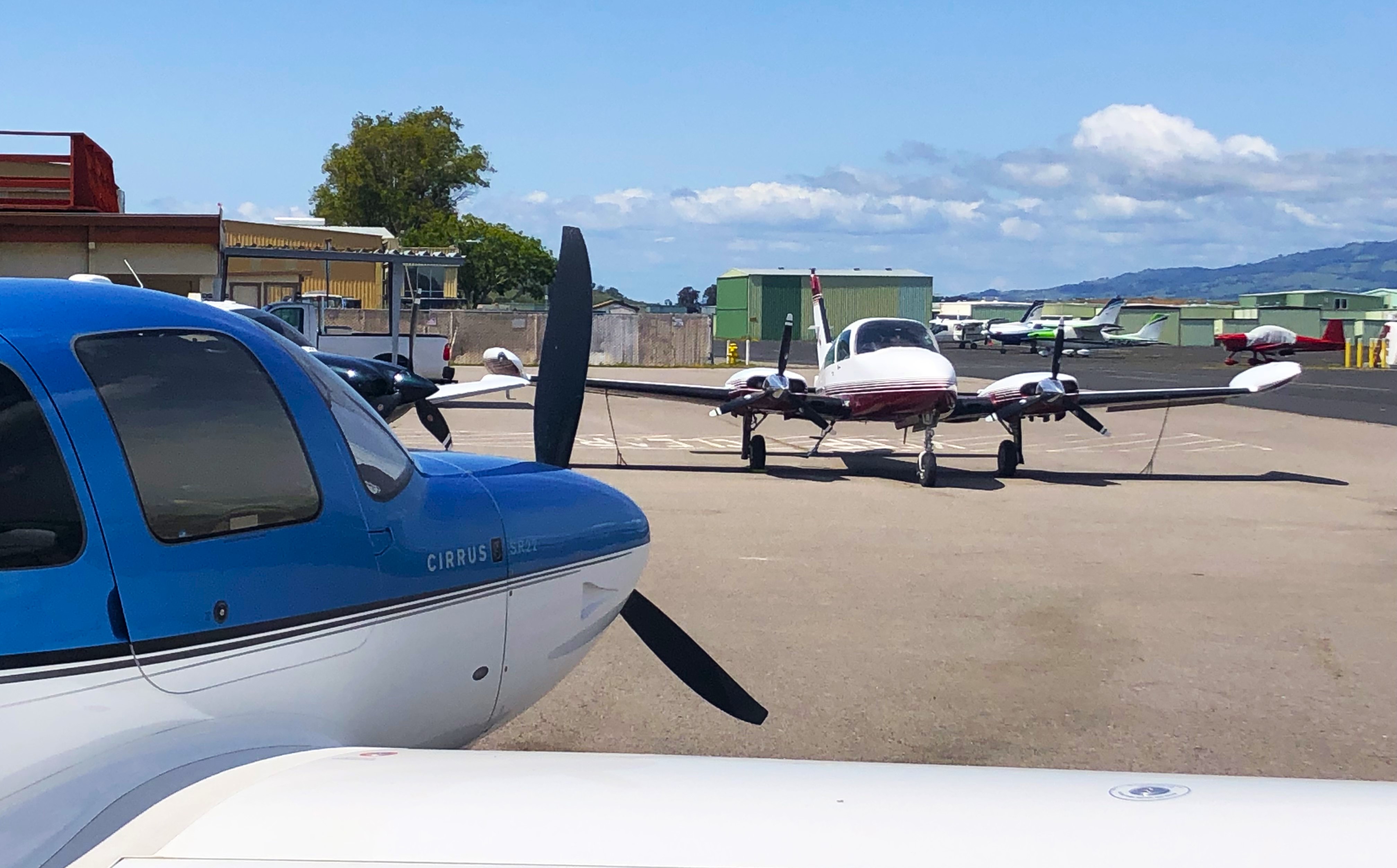
The general aviation airport is at 451 Airport Road, just north of the Novato city limits in the unincorporated area adjacent to Highway 101, Rush Creek Open Space Preserve, and the marshlands that lead to the Petaluma River. The closest residential neighborhood is on the southern slope of Mount Burdell on the west side of Highway 101 along Redwood Drive and Wood Hollow Drive. Other homes south of the airport are clustered off Atherton Avenue and Bugeia Lane, separated from the airport by an open space ridge. Homes in the Bahia community overlooking the Petaluma River are sometimes below the flightpath of planes landing at or departing from the airport.
Gnoss Field occupies 120 acres and is the central base for about 275 aircraft and businesses and is open 24 hours a day to serve the community. Planning efforts and capital projects receive money from the state and federal governments. The airport does not receive any funding from the County of Marin General Fund.
CDA is updating the compatibility plan to adhere to statutory requirements from the State of California and Federal Aviation Administration as well as County of Marin land use priorities.
Stakeholders can subscribe to receive emailed updates on the ALUCP planning process.
# # #
For disability accommodations please phone (415) 473-6290 (Voice), CA Relay 711, or email the CDA Planning Staff at least five business days in advance of the event. The County will do its best to fulfill requests received with less than five business days’ notice. Copies of documents are available in alternative formats, upon request.